Metropolitan France has seven major rivers, whose watersheds cover most of the territory: the Adour, the Garonne, the Loire, the Meuse, the Rhine, the Rhône and the Seine. They themselves consist of a multitude of smaller watersheds, whose rivers have often given their names to the French Regions and departments: Eure, Gard, Indre, Lot, Moselle, etc.

Read about the longest rivers in France, or check our post about the longest rivers in Europe and the longest rivers in the world.
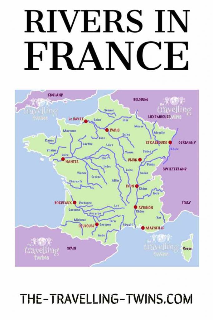
Map Of The Longest Rivers In France
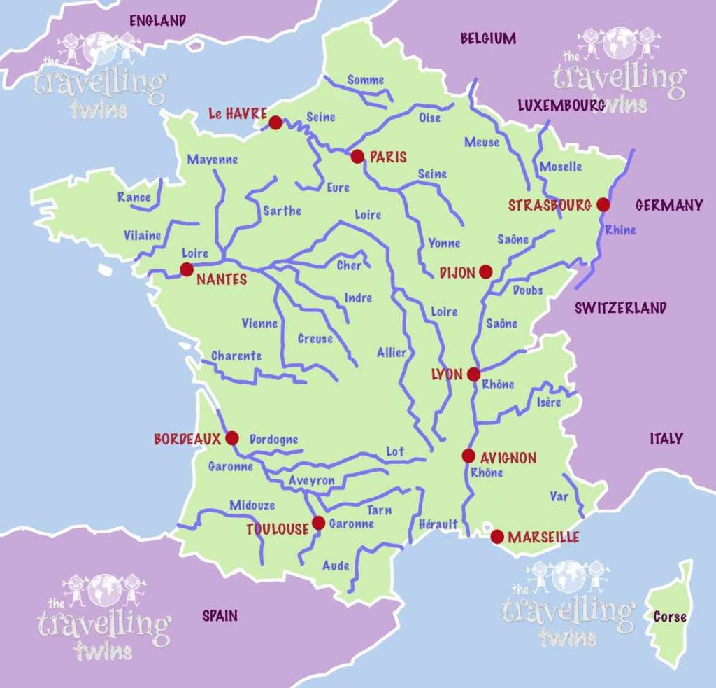
Longest rivers of France
Loire – the longest river in France
Information:
- 1012 km long, 630 miles
- flows into the Atlantic Ocean
At 630 miles (1,012 km), the Loire is France’s longest river.
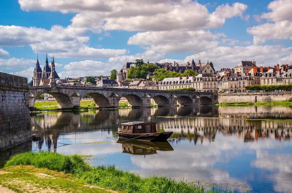
The Loire crosses east to the west, just south of Paris. The river is notably listed by UNESCO as a heritage site of the Loire Valley, a highly prized region due to a large number of imposing Renaissance castles along the Loire Valley, which makes it one of the most know rivers in France.
The Allier River (421 km long) is a notable tributary of the Loire, and the Cher, Sarthe, Creuse, Vienne and Loir rivers are also all tributaries of the Loire downstream.
Flows through Nantes, Tours, Orleans
Seine River
Information:
- 776 km long,
- flows into the English Channel
The Seine is the main river in France and crosses from northwest to southeast in northern France and is the river that runs through Paris.
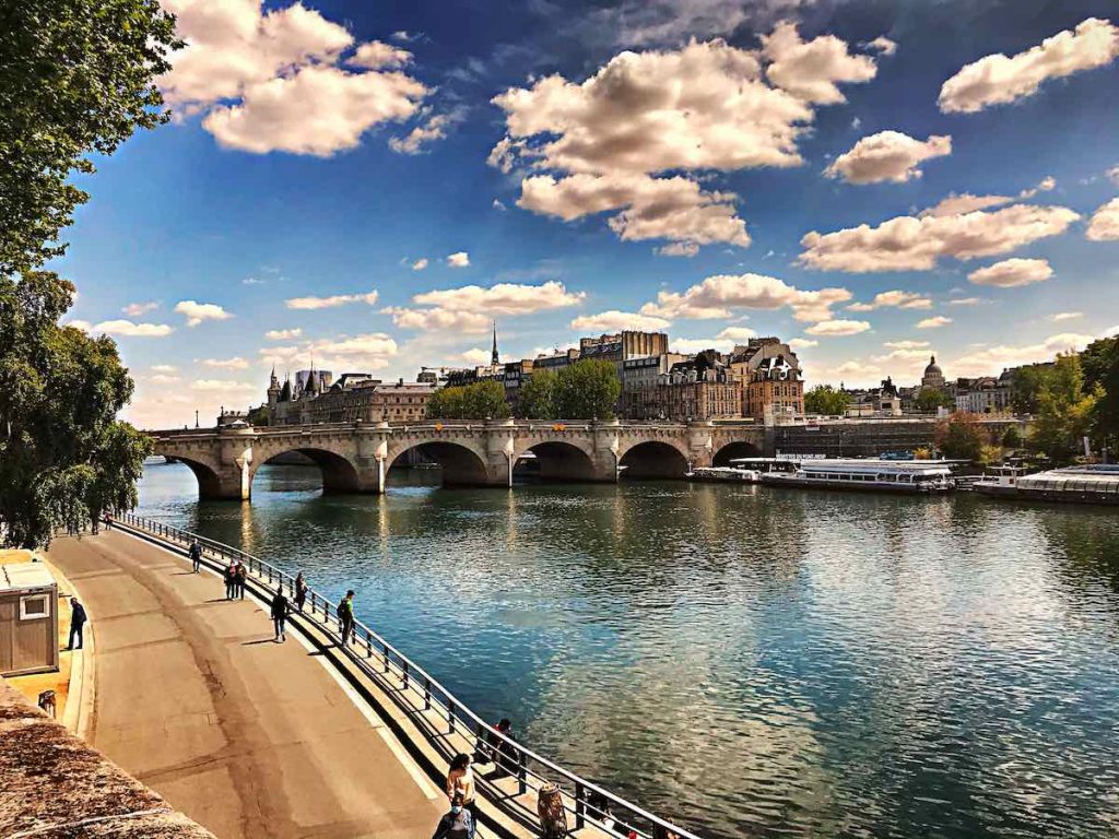
The main tributaries of the Seine are the Aube, Yonne, Marne, Oise and Eure rivers.
Rhine
The Rhine is a notable landmark. It’s the longest river in Europe and it borders five different countries which are Switzerland, Germany, Belgium, Luxembourg and France! The water of this great river flows into Lake Constance so I recommend you visit any one of these locations for an unforgettable experience on your next vacation to beautiful Europe.
The mighty Rhine River has been known as “Father Rhein” by locals since ancient times because its vast watershed covers large parts of Central-Western European territory from Mount Vesuvius near Naples (Italy) all the way up northwards past Budapest (Hungary). As such there was no doubt that Europeans would embrace their very own ‘Amazon’ while not forgetting about our other rivers like
Rhone
812 km long, flows into the Mediterranean
Rhône in France is the largest in-depth and volume, though with length in France of 545 km (339 miles) it ranks third in length.
The Rhône runs almost the entire length of south-eastern France from north to south. It passes through the main industrial center of Lyon, eventually reaching the Mediterranean in western Provence – hence the “Bouches-du-Rhône” department. To the north, there are the large canals connecting the Rhone to the French-German Rhine river.
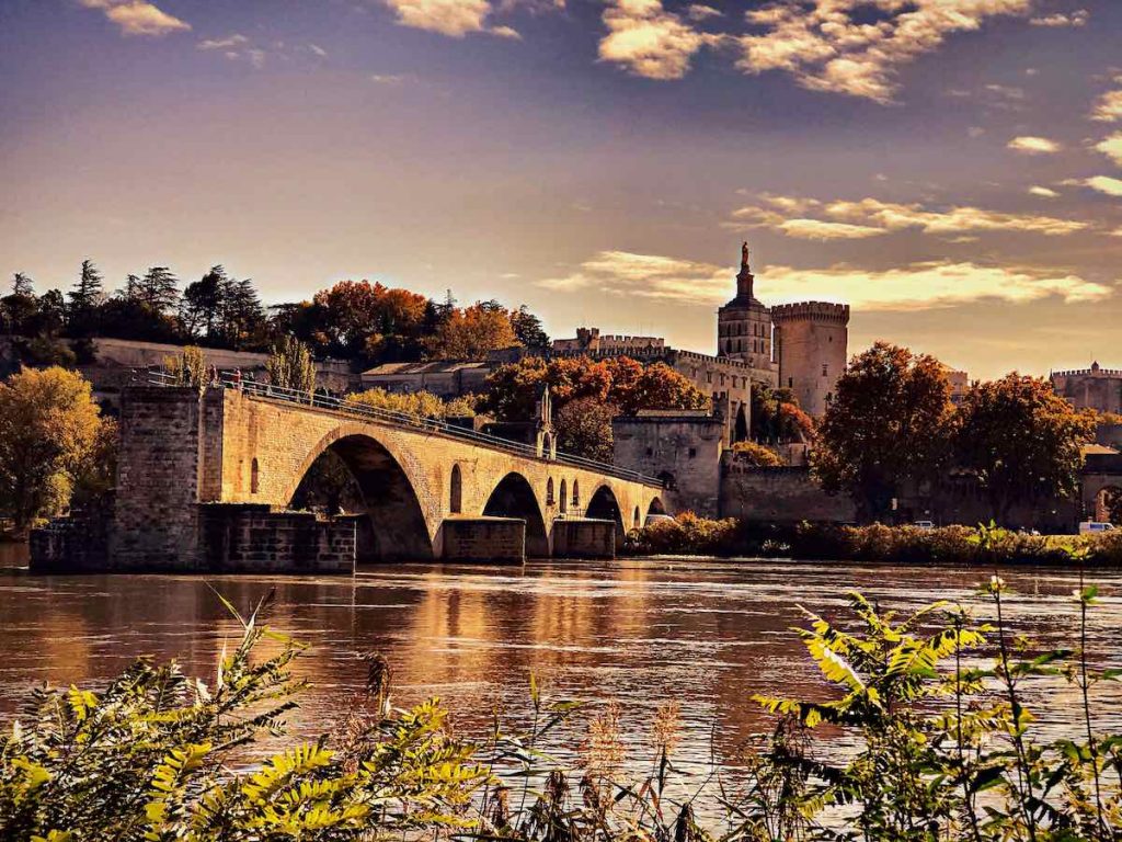
The rivers Saône, Isère, Durance and Ain are all tributaries of the Rhône.
Garonne river
Information: 645 km long, flows into the Gironde estuary, then the Atlantic Ocean
The Garonne runs from west to east through southwestern France, entering the Atlantic at Bordeaux and is the main river of streams and rivers that come from the Pyrenees to the south.
The rivers Tarn and Lot are among the tributaries of the Garonne. See the Guide of the lower Lot valley for the Lot river between Figeac and Cahors, upper Lot valley for the Lot in the Massif Central, and also the Dropt river in the departments of Dordogne and Gironde.
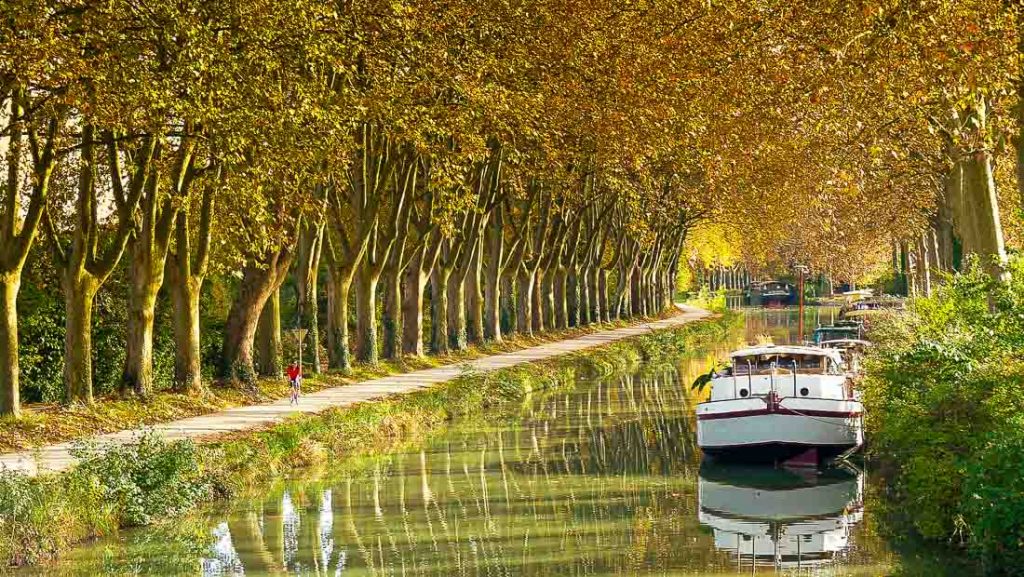
Beautiful Canal du Midi connects the Garonne to the Étang de Thau
Meuse
The Meuse is a waterway with many historical and cultural significance. The river flows through five provinces, including Hainaut to the south and Walloon Brabant at its mouth on the North Sea coast. It’s been used as an important trade route for centuries by those travelling across Europe.
The Meuse River has always served as a significant trading path between countries that wanted access into Northern Europe or Southern Belgium from France before it was fenced off during World War I when Germany occupied most of Western Europe
France, Belgium and Netherlands
Dordogne river
483 km long, flows into the Gironde estuary, then the Atlantic Ocean
483 kilometers long, the Dordogne has its source near Puy de Sancy, in the Massif Central, and it ends its course by joining the Garonne. It is the starting point of the Gironde estuary, and the two rivers together then flow into the Atlantic. This river therefore crosses 6 departments , namely Puy de Dôme, Corrèze, Cantal, Lot, Dordogne and Gironde. The Dordogne valley has been the subject of great archaeological finds dating back to prehistoric times, and it is the many constructions that dot the Dordogne that give it this special charm, since you can visit castles and caves there.
The Dordogne has many tributaries, but few of them are well known or more than 50 kilometers long except the Vézère which is very popular due to the landscape and the many prehistoric sites in the region. The valley is now listed as a UNESCO heritage site
Charente
The Charente river is a beautiful flowing waterway that measures 381 meters long. It starts in the city of Cheronnac, and its waters end at Port-des-Barques near an altitude 295 meter high below sea level!
The Charente River runs south across much of southwestern France in an arc around Paris’ eastern edge before emptying into the Atlantic Ocean at La Rochelle. This area offers great outdoor activities like kayaking downriver towards Poitiers while exploring quaint villages with their medieval churches and chateaux overlooking vineyards dotted over rolling slopes scattered with sheep as well as more challenging hiking trails where you can explore
Adour
308 km long
The Adour River is a beautiful river that runs through the Pyrénées-Atlantiques region. The water of this ancient and scenic wonder has been used for centuries by local communities to irrigate their crops, power mills, fish or swim in its clear waters.
The Adour River originated as part of the Herault Basin at Garonne’s confluence with L’Hers – which itself was born from an earlier tributary called Tescou near Montréjeau on its journey southwards towards Bayonne where it meets up with one more big contributory before crossing into Spain and becoming La Nivelle à Pampelune – just downstream from Pauillac dans la Gironde département
Somme
The Somme River is a major waterway in France that winds from the Malo-Les-Bains to Péronne, and spans 118 kilometers. The name “Somme” originates with a Celtic word meaning “summer”. This river has been an important economic resource for many centuries because of its heavy flow rate and ability to be navigable year round as well as being used by industry such people who make steel or iron products. There are some famous landmarks along this route including Saint Quentin’s Cathedral which was built around 1170 AD and features prominently at number 43 on UNESCO World Heritage Sites list due it historic architectural significance; also there is Haute Bief Farm (or la Ferme Hautefeuille
Vilaine
The Vilaine River is a waterway that runs through France. It flows south from the region of Brittany to its mouth in Saint-Méen-le-Grand and forms part of the border with Britanny, but it also has many tributaries which come flowing out of various other parts towards this direction as well! The river’s name comes from an old Celtic word meaning “overflowing,” because during periods when there are heavy rains or melting snow upstream (especially at Fougères)
Ardèche river
The River Ardèche is a 125-kilometre long river in south-central France. It is a tributary of the Rhône. Its spring is located close to the village set in the Massif Central. The Ardèche River gives its name to the Region of Ardèche.
The Doubs
The latter has its source in the Jura massif, and more precisely in the village of Mouthe known for its record for the lowest winter temperature. But the Doubs also flows as far as Switzerland, since it serves as a natural border with this border country. If this river is worth seeing, it is especially for its Saut du Doubs waterfalls, which are no less than 27 meters high and which are among the highest and most beautiful in France.
The Hérault
The Hérault(coastal river in the south) is undoubtedly one of the most beautiful rivers in France. With its 148 kilometers long, it takes its source at Mont Aigual. The river thus leaves the Cévennes and crosses the Gard as well as the Hérault, the department of the same name. The Hérault then ends its race in the Mediterranean Sea, not far from Cap d’Agde. If you want to admire this river in the south of France, go near Saint-Guilhem-le-Désert where you can see the sublime gorges of the Hérault.
The Tarn
The Tarn has its source at Mont Lozère in the Massif Central. Its length is 381 kilometers and it flows into the Garonne. If you go to the Lozère and Aveyron departments, you can admire a magnificent canyon carved out by the Tarn river. Its gorges even reach, in places, 600 meters deep, especially in the Cévennes and Causse de Méjean National Park. You can explore the Tarn both by hiking and kayaking.
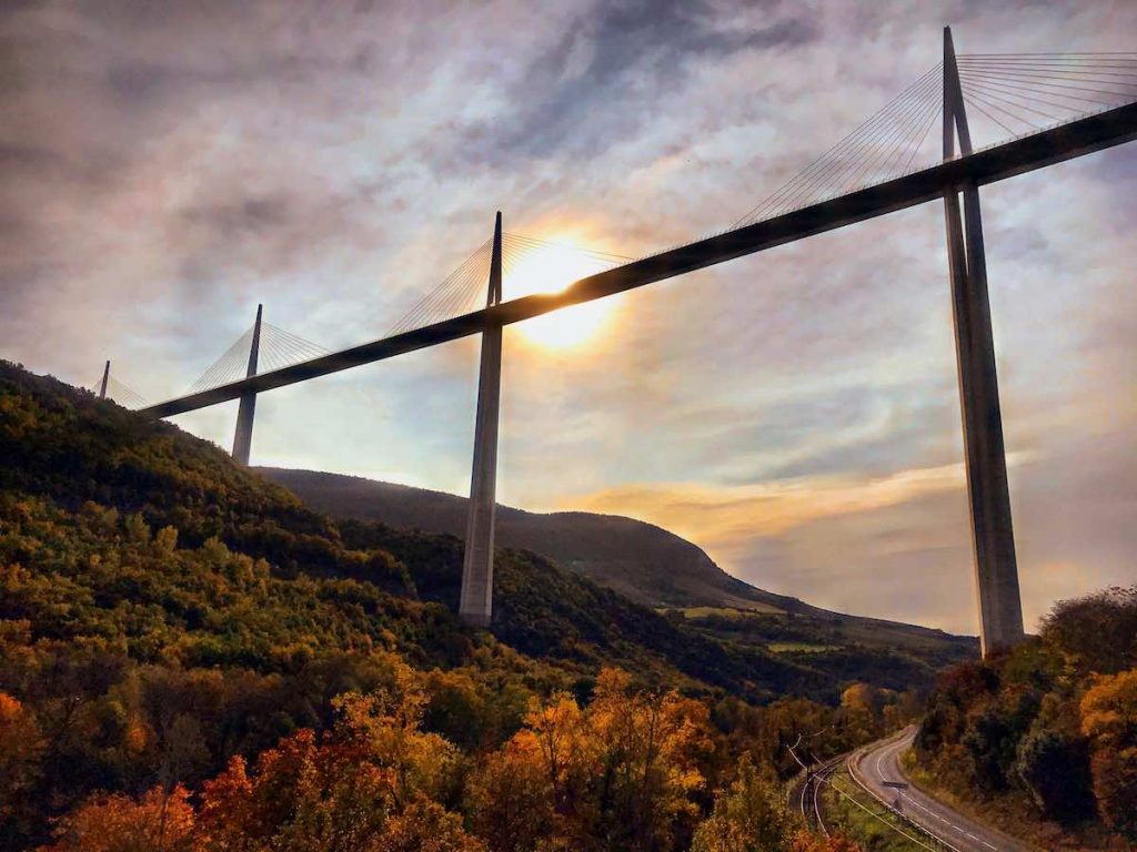
The Verdon
If you thought that turquoise blue waters were only for islands, it is because you have not (yet) had the chance to come and admire the Verdon. Located in the south-east of France, the river is known for its sublime gorges formed in the Alpes de Haute Provence and in the Var. They are also considered to be the most beautiful gorges in Europe . The Verdon, which stretches over 175 kilometers in length, has its source in the Trois Evêchés massif and flows into the Durance, which is a tributary of the Rhône. Do not hesitate to go kayaking on the Verdon, you can then enjoy an extraordinary panorama
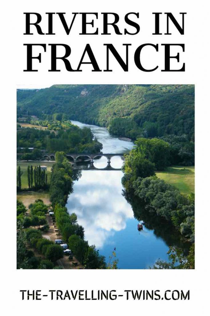
Longest rivers in France – Pin it
Privacy Policy Disclaimer
This website uses affiliate links for income and support.
If you like our website, please consider using these links. You will be directed to the vendor, and we will get a small commission on your purchase price at no increased cost to you.
We have researched facts stated here as far as practicable but please check anything critical before committing your time and money. We do not claim any special knowledge or expertise, and we are not consultants for our readers.